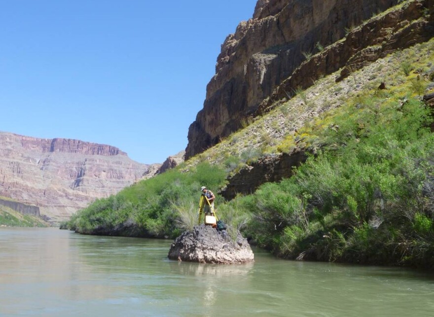
Grand Canyon river guides will tell you one of the most frequent questions from passengers is, “How deep is the Colorado River?” Seems like a simple enough question, but the answer is complicated, and researchers are attempting to come up with something more definitive.
They’ve been surveying and mapping the channel of the Colorado River through Grand Canyon National Park for more than a decade. Aerial photography and sonar are among the main techniques they use. Researchers boat down the river and drop multibeam sonar sensors into the water that record elevation points on the riverbed.
That data is collected using a network of some 1,500 survey benchmarks along the river and the canyon’s rims. This network provides a common reference for all types of studies, allowing researchers to detect changes over time.
Results indicate the Colorado may not be as deep as previously thought. Matt Kaplinski is a geologist at Northern Arizona University and leads the survey project. His data show the median depth of the river is just 25 feet—with the deepest point recorded so far at a little over 87 feet above Phantom Ranch.
This spring the team will continue mapping the reach from Phantom to National Canyon. With that completed, they will have mapped 240 miles of the Colorado River.
The channel mapping is one of many research and monitoring projects launched since the mid-1990s, investigating Glen Canyon Dam’s environmental effects.


