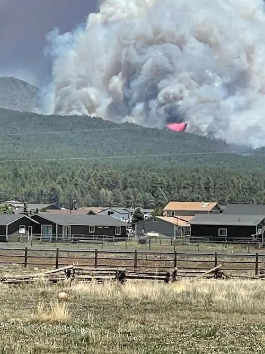
Coconino County officials will begin a series of work sessions Tuesday on what they call a “local wildfire crisis.” They’re considering a plan to use federal funds to lessen fire and flooding danger in some areas that pose potential threats to communities.
Officials say thinning work is needed on about 1,600 acres of steep slopes on the west side of the San Francisco Peaks in the Upper Rio De Flag Watershed. The area on the Coconino National Forest is seen as particularly vulnerable, and a severe wildfire there could result in widespread catastrophic flooding in a large swath of Flagstaff.
“We believe there’s an opportunity now to leverage significant federal funding to address not only the wildfire threat on our national forests and grassland areas, but also within our communities themselves,” said county Flood Control District Administrator Lucinda Andreani.
According to emergency officials, wildfire and post-fire flooding represent the area’s top public safety threats.
Coconino County officials have applied for a $250,000 grant to develop a Community Wildfire Protection Plan.
Once it’s developed, the county becomes eligible for further federal matching grants of up to $10 million per project.
Officials also want to continue reducing wildfire risk on Bill Williams Mountain along with Oak Creek Canyon. The board of supervisors will hold work sessions for the next six months on topics related to the proposals.
Flood and emergency response officials point out that the risk of catastrophic wildfire and post-fire flooding has increased in recent years and will likely continue to rise.
According to recent modeling, 93% of properties in Coconino County will be in danger of wildfire in the next three decades.
Since 2010, eight major wildfires have occurred in the county. In that time, response and mitigation to post-fire flooding has cost about $100 million and will continue to accumulate as a result of ongoing work from the Museum and Pipeline fires.


