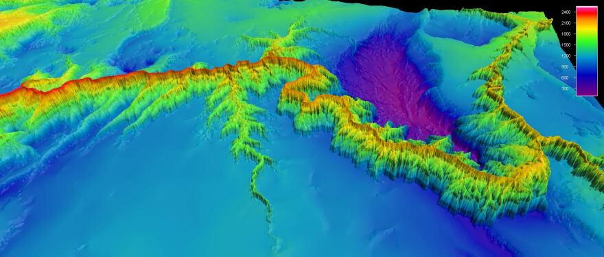
Researchers studying sand deposits along the Colorado River are cautiously optimistic that controlled water releases from Glen Canyon Dam are restoring sandbars in the Grand Canyon.
Joe Hazel, a geologist at Northern Arizona University, has been surveying and mapping the shifting sands for 25 years. He says, "Most of the sand is trapped behind Glen Canyon Dam. As much as 90% of what used to flow through Grand Canyon is now trapped in Lake Powell, and we're relying on the Paria River and to a lesser extent the Little Colorado River and other smaller tributaries to maintain sediment resources in the Canyon. So it's a delicate balance."

Land managers want to make sure that the remaining 10% is not on the bottom of the main stem river channel, but in sandbars and on beaches. That's because they provide habitat for riparian vegetation and animals and also campsites for boaters and hikers.
Geologist Matt Kaplinski is also working on the sandbar survey with sophisticated multi-beam sonar equipment typically used to map ocean floors. "It's amazing," Kaplinski says, "you can cover big stretches of the river and collect orders of magnitude more data from this technology."
Kaplinski says until recently, it was widely believed that most of the sand below the dam was suspended in the river. But new sonar findings reveal it's actually traveling like waves of sand dunes along the bottom of the river channel. "It's definitely given us a better understanding of how the river works and how sediment transport in Grand Canyon along the Colorado River, how that works," he says.

This information helps land managers know when the most sediment is in the system. They can time the controlled floods accordingly and maximize the chances of flushing the sand out of the river and onto shore.


