Many people are aware that Flagstaff and environs played a central role in the race to land a man on the Moon in the 1960s. The Apollo astronauts trained amid the volcanic landscape surrounding town—the best re-creation of the Moon’s pock-marked surface to be found on Earth.
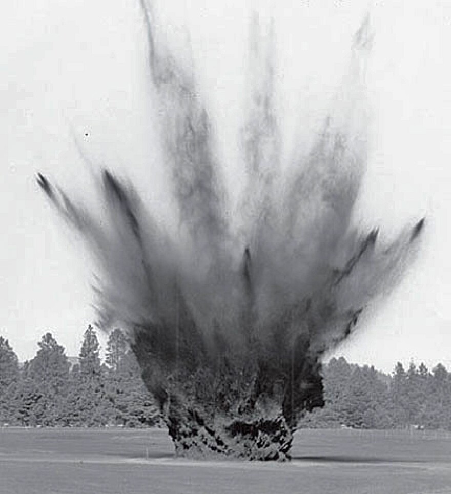
While mission planners and geologists took advantage of the natural terrain, they also created a few craters of their own. At least one of those crater fields remains fairly intact among the cinder hills near the county landfill.
Gerald Schaber details the U.S. Geological Survey’s participation in the effort. He writes that a milestone was reached at the end of July 1967, when the first of 47 initial craters was blasted out of the Cinder Lake field, designed to duplicate as closely as possible the Sea of Tranquility on the Moon.
The dynamited craters ranged from five to 40 feet in diameter, varied in depth, and were spaced to match actual photographs of the Moon’s surface. More craters were constructed until eventually hundreds were added.
According to Schaber, the simulated craters became the astronauts’ favorite training areas because they were so realistic, and they could be explored with lunar vehicle prototypes.
This month marks the 50th anniversary of that crater excavation program—and northern Arizona’s key part in America’s historic, successful Moon landing that took place two years later.


